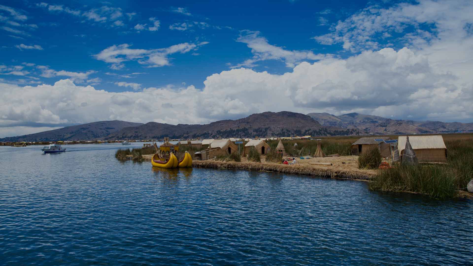
The highest navigable lake in the world is an extraordinary spectacle wherever one looks. The lake is surrounded by reed beds and dotted with many islands, each of which has its own unique history.
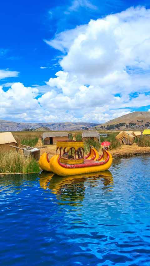
Taquile, Amantani and the floating Uros islands offer the opportunity to experience directly the traditions and customs of communities that have learned to make the most of their surroundings and live in harmony with nature.
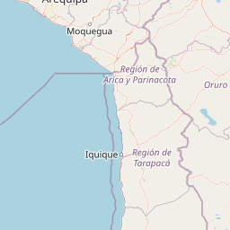
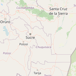


| Head southeast | 90 m | |
| Turn right | 2 km | |
| Enter the roundabout and take the 1st exit | 60 m | |
| Go straight | 900 m | |
| Merge left onto Avenida Morales Duarez (PE-20B) | 550 m | |
| Turn left onto Avenida Santa Rosa (PE-20I) | 1.5 km | |
| Continue straight onto Avenida Juan Pablo II (PE-20I) | 1.5 km | |
| Enter Óvalo Saloom and take the 3rd exit onto Avenida Santa Rosa (PE-20I) | 200 m | |
| Go straight onto Avenida Santa Rosa (PE-20I) | 900 m | |
| Take the ramp | 450 m | |
| Merge right onto Costa Verde | 1.5 km | |
| Continue straight onto Circuito de Playas | 10 km | |
| Take the ramp on the left towards Miraflores | 700 m | |
| Merge left onto Quebrada de Armendáriz | 300 m | |
| Take the ramp on the right towards Avenida Miguel Grau | 250 m | |
| Go straight onto Avenida Almirante Miguel Grau | 450 m | |
| Turn left onto Avenida Nicolás de Pierola | 500 m | |
| Turn left onto Avenida República de Panamá | 600 m | |
| Turn right onto Via Expresa Sur | 4.5 km | |
| Continue slightly left onto Avenida Paseo de la República | 300 m | |
| Take the ramp on the right towards PE-1S: Avenida Panamericana Sur | 60 m | |
| Merge left onto Avenida Panamericana Sur (PE-1S) | 3.5 km | |
| Continue straight onto Carretera Panamericana Sur (PE-1S) | 4.5 km | |
| Keep right at the fork onto Carretera Panamericana Sur (PE-1S) | 45 km | |
| Keep right at the fork onto Telepass Vía 8 | 600 m | |
| Merge left onto Carretera Panamericana Sur (PE-1S) | 200 km | |
| Keep left at the fork onto Carretera Panamericana Sur (PE-1S) | 35 km | |
| Enter Panamericana Sur and take the 2nd exit onto Avenida Los Maestros (PE-1S) | 60 m | |
| Go straight onto Avenida Los Maestros (PE-1S) | 600 m | |
| Enter Óvalo Ayabaca and take the 2nd exit onto Avenida Los Maestros (PE-1S) | 80 m | |
| Make a slight right onto Avenida Los Maestros (PE-1S) | 3 km | |
| Continue straight onto Panamericana Sur (PE-1S) | 250 m | |
| Continue straight onto Carretera Panamericana Sur (PE-1S) | 80 km | |
| Make a slight right onto Avenida San Francisco | 800 m | |
| Continue straight onto Antigua Carretera Panamericana Sur | 5 km | |
| Merge left onto Carretera Panamericana Sur (PE-1S) | 5 km | |
| Continue straight onto Avenida Miguel Grau (PE-1S) | 1 km | |
| Continue straight onto Carretera Panamericana Sur (PE-1S) | 50 km | |
| Enter the roundabout and take the 1st exit onto Carretera Panamericana Sur (PE-1S) | 2 m | |
| Go straight onto Carretera Panamericana Sur (PE-1S) | 1.5 km | |
| Keep right at the fork onto Carretera Panamericana Sur (PE-1S) | 40 km | |
| Keep left at the fork onto Carretera Panamericana Sur (PE-1S) | 150 km | |
| Keep right at the fork onto Carretera Panamericana Sur (PE-1S) | 200 km | |
| Continue straight onto Avenida Samuel Pastor (PE-1S) | 4 km | |
| Continue straight onto Vía de Evitamiento (PE-1S) | 3 km | |
| Continue slightly left onto Panamericana Sur (PE-1S) | 7 km | |
| Enter the roundabout and take the 1st exit onto Carretera Costanera Sur (PE-1SD) | 25 m | |
| Go straight onto Carretera Costanera Sur (PE-1SD) | 90 km | |
| Enter Óvalo Matarani and take the 2nd exit onto Autopista Costanera (PE-1SD) | 55 m | |
| Go straight onto Autopista Costanera (PE-1SD) | 8 km | |
| Enter the roundabout and take the 2nd exit onto Autopista Costanera (PE-1SD) | 70 m | |
| Make a slight right onto Autopista Costanera (PE-1SD) | 7 km | |
| Enter 15 A and take the 2nd exit onto Carretera Costanera Sur (PE-1SD) | 50 m | |
| Make a slight right onto Carretera Costanera Sur (PE-1SD) | 9 km | |
| Go straight onto 15 A | 1 km | |
| Continue straight onto Avenida Tambo | 2 km | |
| Continue straight onto 15 A | 1 km | |
| Enter the roundabout and take the 1st exit onto Carretera Costanera Sur (PE-1SD) | 15 m | |
| Go straight onto Carretera Costanera Sur (PE-1SD) | 6 km | |
| Make a slight right | 500 m | |
| Merge left onto Carretera Costanera Sur (PE-1SD) | 2 km | |
| Keep left at the fork onto 15 A (PE-1SJ) | 900 m | |
| Make a slight left onto PE-1SJ | 9 km | |
| Turn right onto PE-1SJ | 250 m | |
| Turn left onto PE-1SJ | 10 km | |
| Turn right onto Carretera Panamericana Sur (PE-1S) | 100 km | |
| Keep left at the fork | 80 m | |
| Merge right onto Carretera a Moquegua | 500 m | |
| Keep right at the fork onto Avenida Circunvalación | 4.5 km | |
| Continue slightly right onto Avenida Circunvalación (PE-36A) | 2.5 km | |
| Make a sharp right | 1.5 km | |
| Make a slight right onto Calle Adelaida Bolivar | 800 m | |
| Turn right onto Avenida Andrés Avelino Cáceres (PE-36A) | 1.5 km | |
| Keep right at the fork onto Carretera Binacional (PE-36A) | 80 km | |
| Make a slight left onto MO-102 | 150 m | |
| Merge right onto Carretera Binacional (PE-36A) | 25 km | |
| Keep left at the fork onto Interoceánica (PE-36B) | 150 km | |
| Make a slight right | 150 m | |
| Keep right at the fork | 45 m | |
| Merge left onto Avenida Panamericana Sur (PE-36B) | 3.5 km | |
| Continue straight onto Jirón Leoncio Prado (PE-36B) | 2.5 km | |
| Continue slightly right onto Jirón Leoncio Prado (PE-36B) | 500 m | |
| Turn right | 90 m | |
| Turn left onto Avenida El Sol | 1 km | |
| Enter the roundabout | 90 m | |
| You have arrived at your destination, on the left | 0 m |
How to get to Lake Titicaca ?

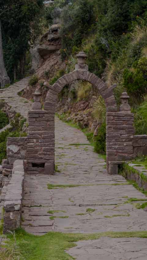
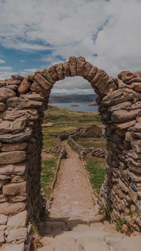
Visit the islands of Uros, Taquile and Amantani.

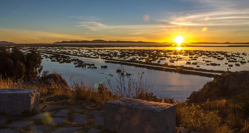
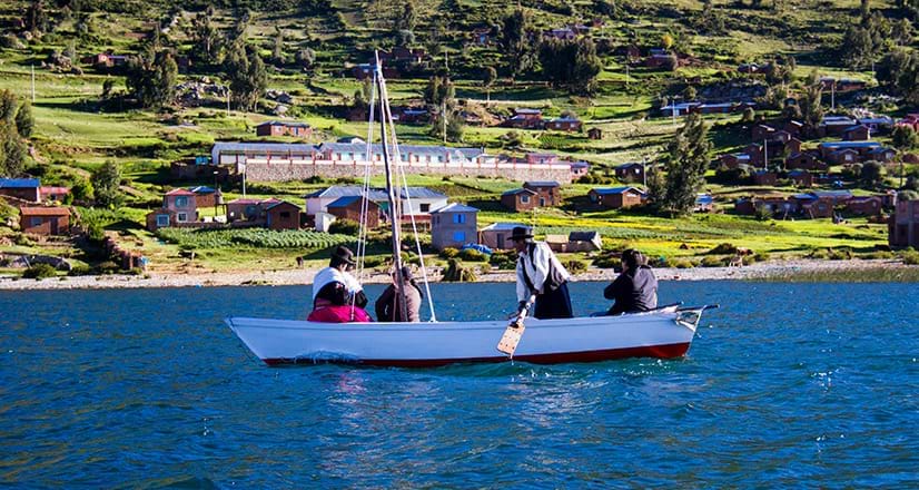
Observe the beautiful sunset from a sailboat.

Go rafting on the lake.

General information
Times
Dependent upon the operator
Price
Dependent upon the operator
Essentials
Camera, warm clothing, cash, sunscreen, lip moisturizer.
Altitude
3 815 meters above sea level
Climate
Min. 3 ℃/ Max. 14 ℃