
Written by:
peru.travel
Monday, October 12, 2020
In this Page
To talk about the Qhapaq Ñan means not only discovering the high level of organization that the Incas possessed, but also understanding how through routes and roads they could expand over one of the most rugged geographies in the world. Thanks to this "great Inca trail" (translation from Quechua to English), the empire was able to exercise commerce and administration of its domains.
This road network linked the entire Tahuantinsuyo through the current territories of Argentina, Bolivia, Brazil, Chile, Colombia, Ecuador and Peru, crossing deserts, agricultural areas, mountain ranges and swamps. All the routes started from Cusco. The most important of them is the one that went towards Quito, today’s capital of Ecuador.
According to historians, the Qhapaq Ñan represented the basis of Inca political expansion, because it allowed the rapid mobilization of armies and state officials. In addition, it facilitated the transportation of valuable resources like metals, spondylus shells, wood, coca leaves, and textiles.
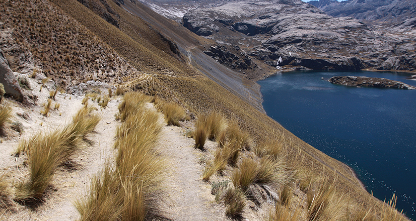
This road network linked the entire Tahuantinsuyo through the current
territories of Argentina, Bolivia, Brazil, Chile, Colombia, Ecuador and Peru. Credit: PromPerú.
Tambos and bridges, key pieces
The tambos, places that were used as shelters and warehouses, were arranged along the roads to allow travelers to rest and store their belongings. They were generally rectangular in shape and divided into several independent spaces. There were tambos of different sizes: the largest had residential environments, plazas and storages, and were used to house the Inca and his entourage. The smaller ones served as a hostel for the chasquis, who were messengers from the Tahuantinsuyo.
The construction of bridges was also decisive for the Qhapaq Ñan, because thanks to these, the Incas were able to cross slopes, rivers and, in general, a rugged Andean geography. Some of these platforms were built with stones and others with wood. There were also hanging bridges that were built with vegetable fibers, as is the case of the Q'eswachaka, considered the last Inca bridge that remains until this day.
The routes before the Qhapaq Ñan
The Incas were not the only ones who built roads to unite their territories. Many of the routes that they used and integrated into their road system were built by the cultures that preceded them. According to researchers, these paths were exclusively local and linked sacred centers or huacas with small towns.
Some archaeological complexes of the Wari culture, such as Piquillacta, for example, had important road systems. Other evidence of pre-Inca roads is found in the Moche Valley, on the north coast of Peru, and in Lima, where paths were built on both sides of the Chillón River, in Pachacámac, and in the Cañete River valley. These tracks were crossed by others that reached the Andean areas, and even the Amazon.
The road to Machu Picchu
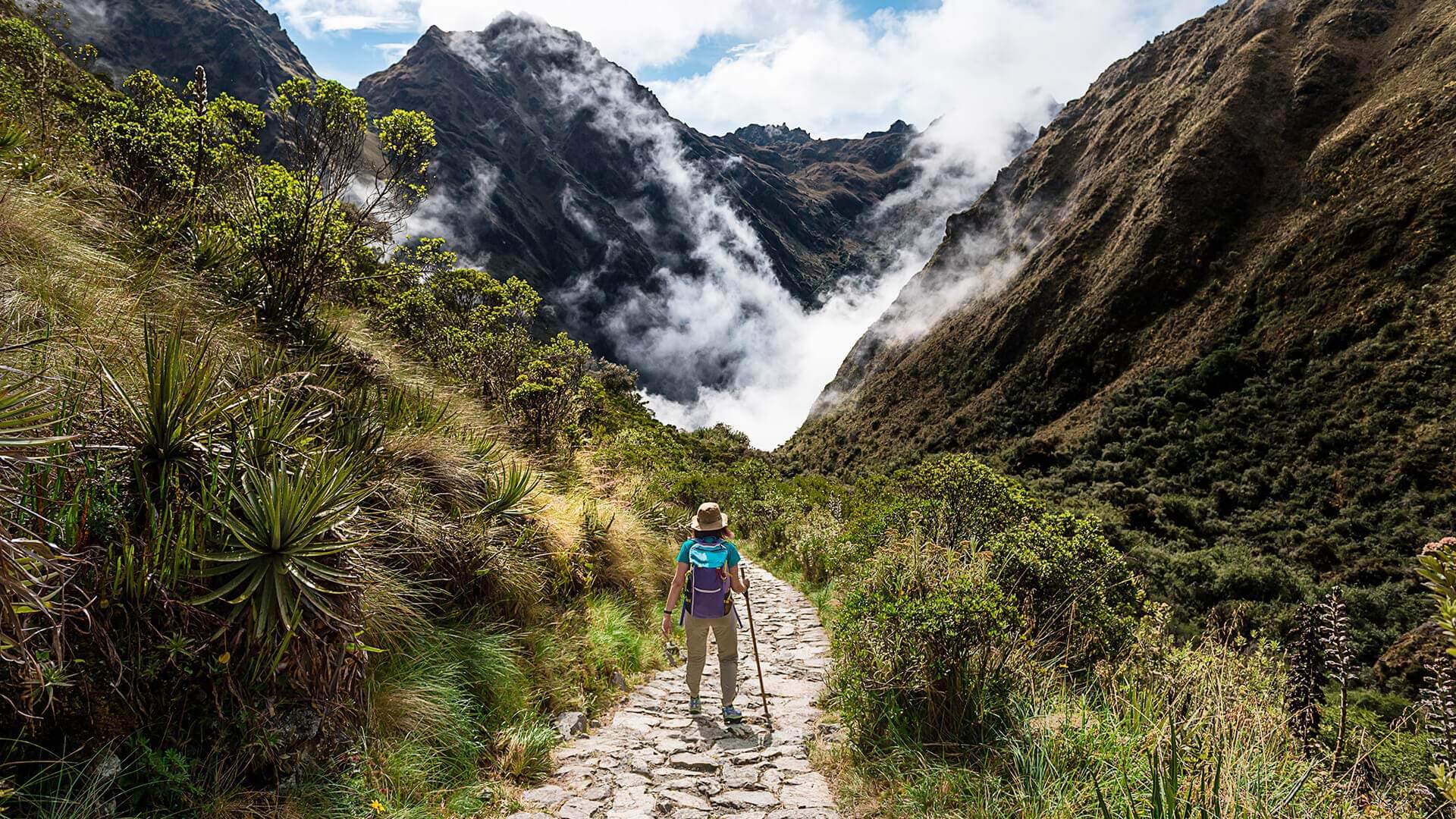
The best known tourist section of the road system is the one that leads to the citadel of Machu Picchu. The route generally starts from Qoriwayrachina, an old town whose ruins are in the Vilcabamba district. The road covers a distance of approximately 45 km and it takes four days and three nights to follow.
The second day is the most intense, because you have to cross through Warmihuañusca, a valley located 4200 meters above sea level. That is the highest part and the one that requires the greatest physical demand. There are also other routes that shorten the distances and make possible to reach the famous citadel in two or three days.
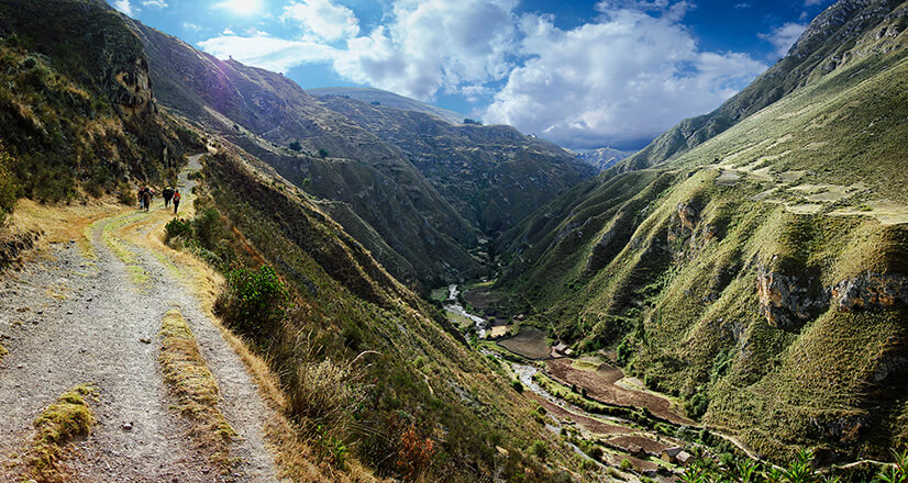
The best known tourist section of the road system is the one that leads to the citadel of Machu Picchu.
Credit: PromPerú.
The natural scenery is impressive: a landscape full of tropical forests, desert cliffs and imposing snowy mountains like Salkantay or Humantay, tunnels up to twenty meters long and various archaeological complexes, including Intipata, Runkuraqay and Intipunku.
If you want to live the experience and admire in greater detail the natural environment of the Inca trail to Machu Picchu, the authorized camps are Patallacta, Huayllabamba, Llulluchapampa, Pacamayo and Wiñayayna. Except between December and March, months in which it rains copiously, any time is opportune to travel. Dare to get there.
Sources: Catedra Unesco / Perú Info / Qhapaqnan.cultura.pe / Boleto a Machu Picchu / Patromoniomundial.cultural.pe
Follow us on social media
Facebook | Instagram | Twitter | TikTok | YouTube